


.svg)


Latest Blog Post
Five years running: Regrid returns to the Geoawesome 100
on July 28, 2026
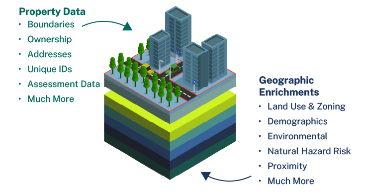
 Premium parcels
.png) AI and ML tools
AI and ML tools
 Delivery methods

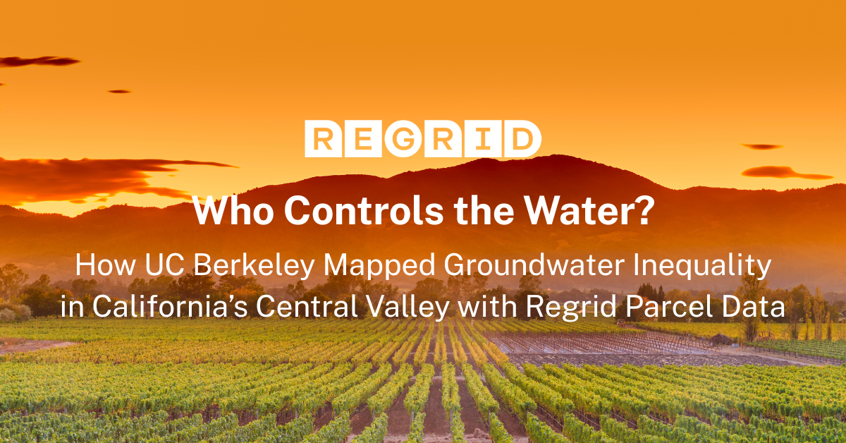
How UC Berkeley Mapped Groundwater Inequality with Regrid Parcel Data Access to land and access to water have always been intertwined in California’s... Read More
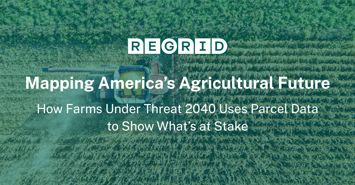
How Farms Under Threat 2040 Uses Parcel Data to Show What’s at Stake By 2040, millions of acres of America’s farmland could be lost—not to disaster,... Read More
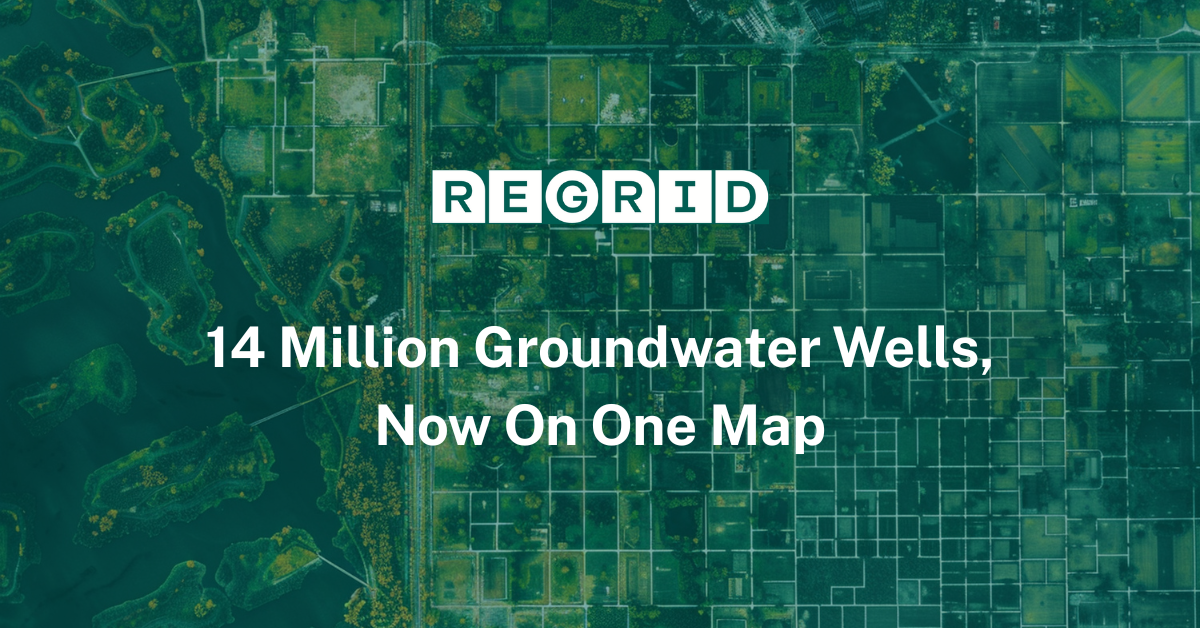
For decades, one of the most critical elements of American infrastructure—groundwater wells—remained stubbornly unmapped at scale. Despite their... Read More
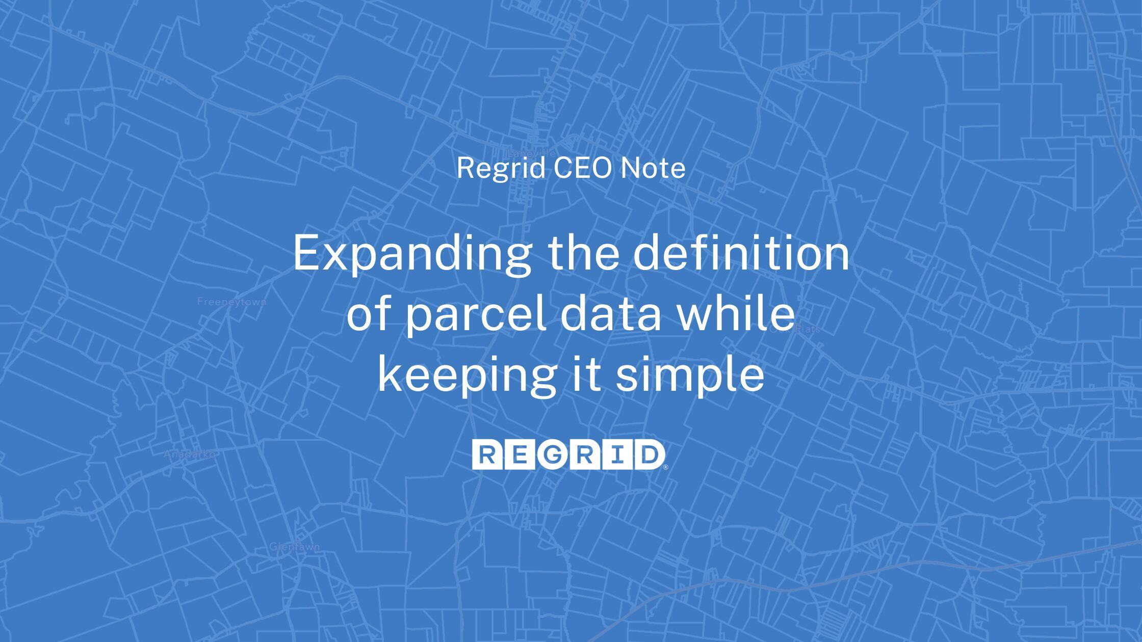
A post from Regrid CEO, Jerry Paffendorf Read More

Parcels are the foundation of every location decision, and Regrid is proud to be your choice for parcel data. Read More
.jpg)
When the National Zoning Atlas set out on an ambitious project to democratize national zoning data, they came to Regrid's Data With Purpose program.... Read More
At Regrid, our team of parcel data experts is always working to bring you fresh, accurate parcel data. Check out the latest updates below… Read More
.png)
At Regrid, our team of parcel data experts is always working to bring you fresh, accurate parcel data. Check out the latest updates below… Read More
.png)
A summary of updates in January 2023 and a preview of the counties in our upcoming pipeline are below. Read More
.png)
A summary of updates in December of 2022 and a preview of the counties in our upcoming pipeline are below. Read More
