


.svg)


Latest Blog Post
Five years running: Regrid returns to the Geoawesome 100
on July 28, 2026
 Premium parcels
.png) AI and ML tools
AI and ML tools
 Delivery methods

-1.png)
As we wrap up 2025, we want to thank you for being part of our journey. Your support and engagement mean the world to us, and we’re excited to... Read More
.png)
Parcel-level housing insights just got more precise Regrid’s parcel fabric grows because you tell us what you need. Over the past year, we kept... Read More
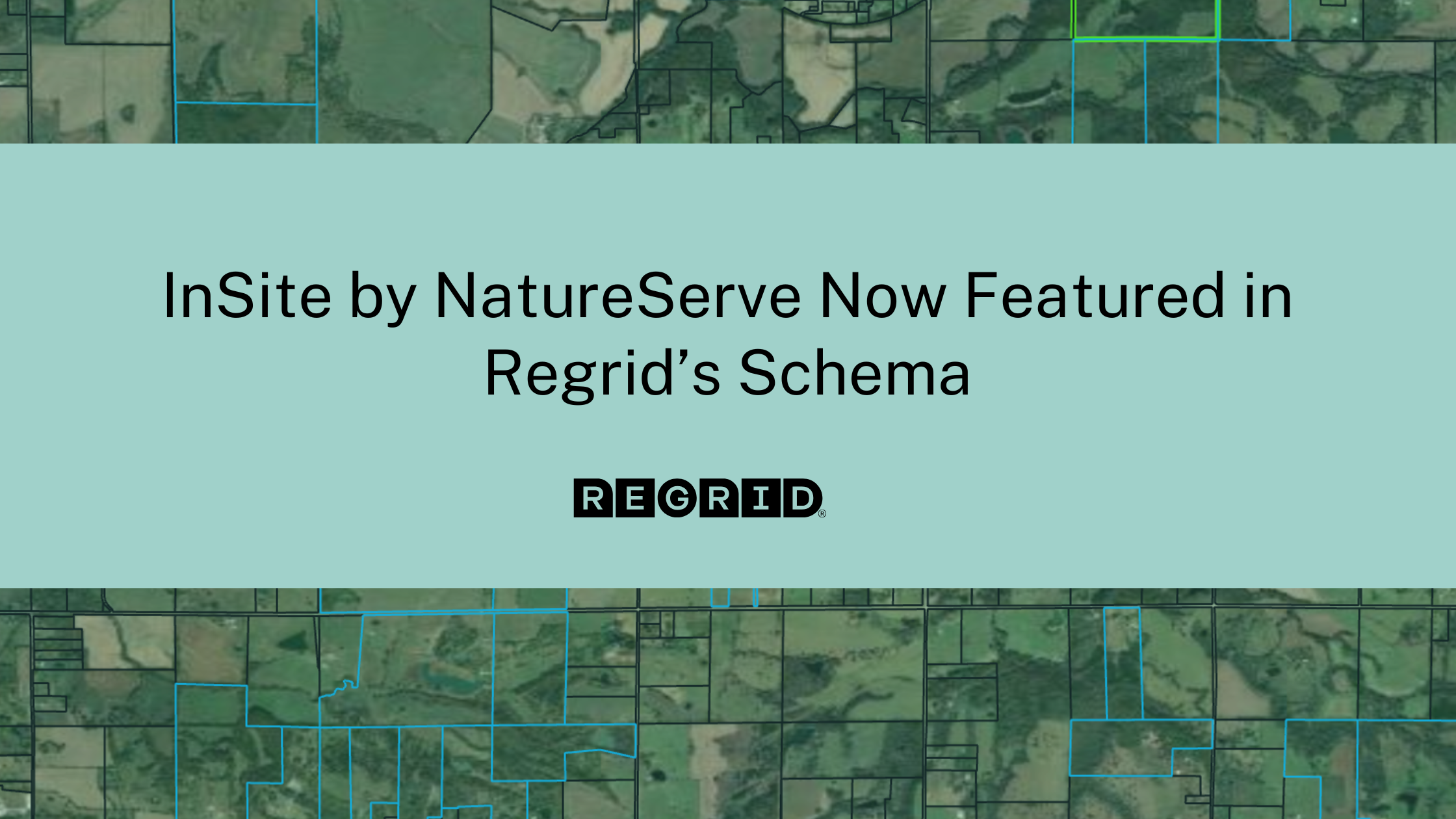
The new early signal that changes the (conservation) conversation When teams shortlist sites, the last few candidates often look the same. Cost is... Read More
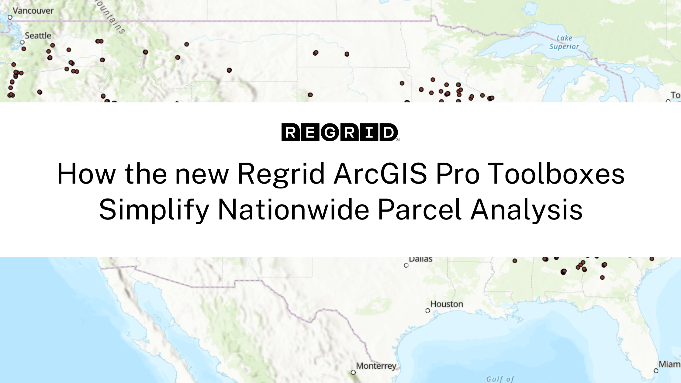
Better Tools Built for Scaling Your Location Decisions Regrid’s Feature Service delivers instant access to a powerful nationwide parcel dataset.... Read More
.png)
Click here to read the full Press Release announcements: Regrid and Overture Maps Foundation Connect Parcels and POIs with GERS ID Integration ... Read More
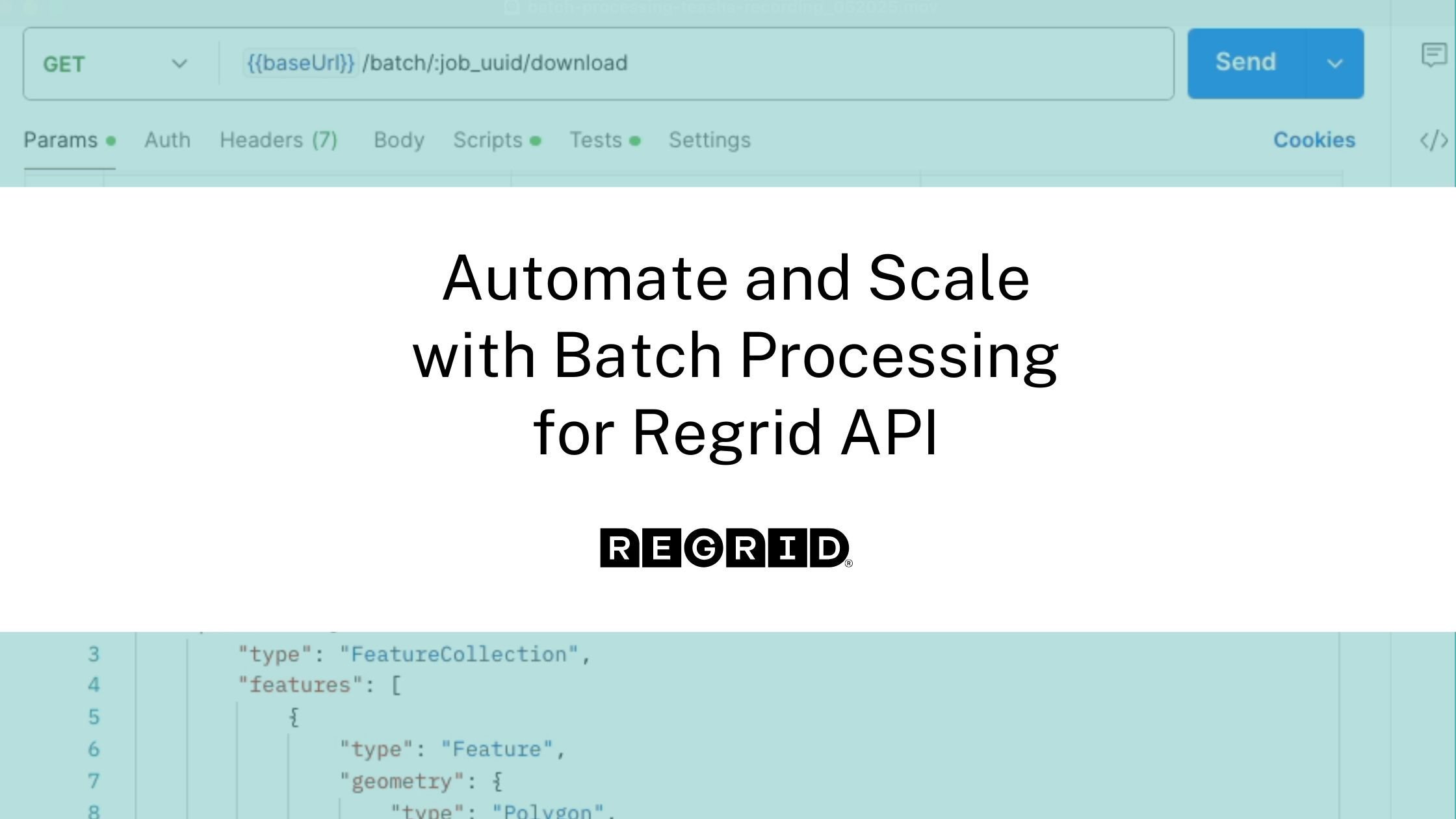
If you’ve ever struggled to enrich thousands of coordinates with accurate parcel data, you’re not alone. Many organizations rely on manual geospatial... Read More
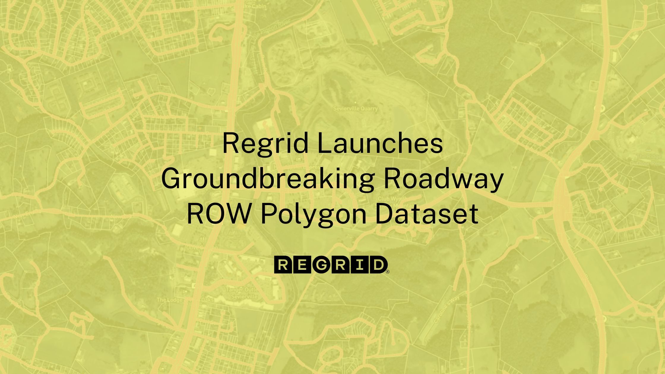
In the evolving landscape of land use, infrastructure development, and clean energy deployment, one critical piece of the spatial puzzle has remained... Read More
.jpg)
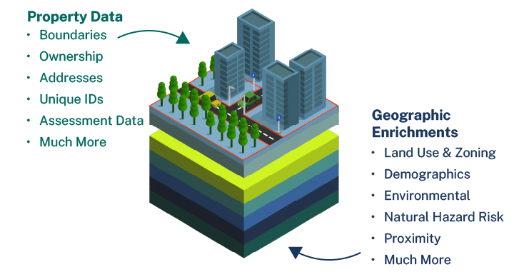
You’ve heard a lot from us recently about our interest in expanding the definition of parcel data.Much of our recent work on that front has been, in... Read More
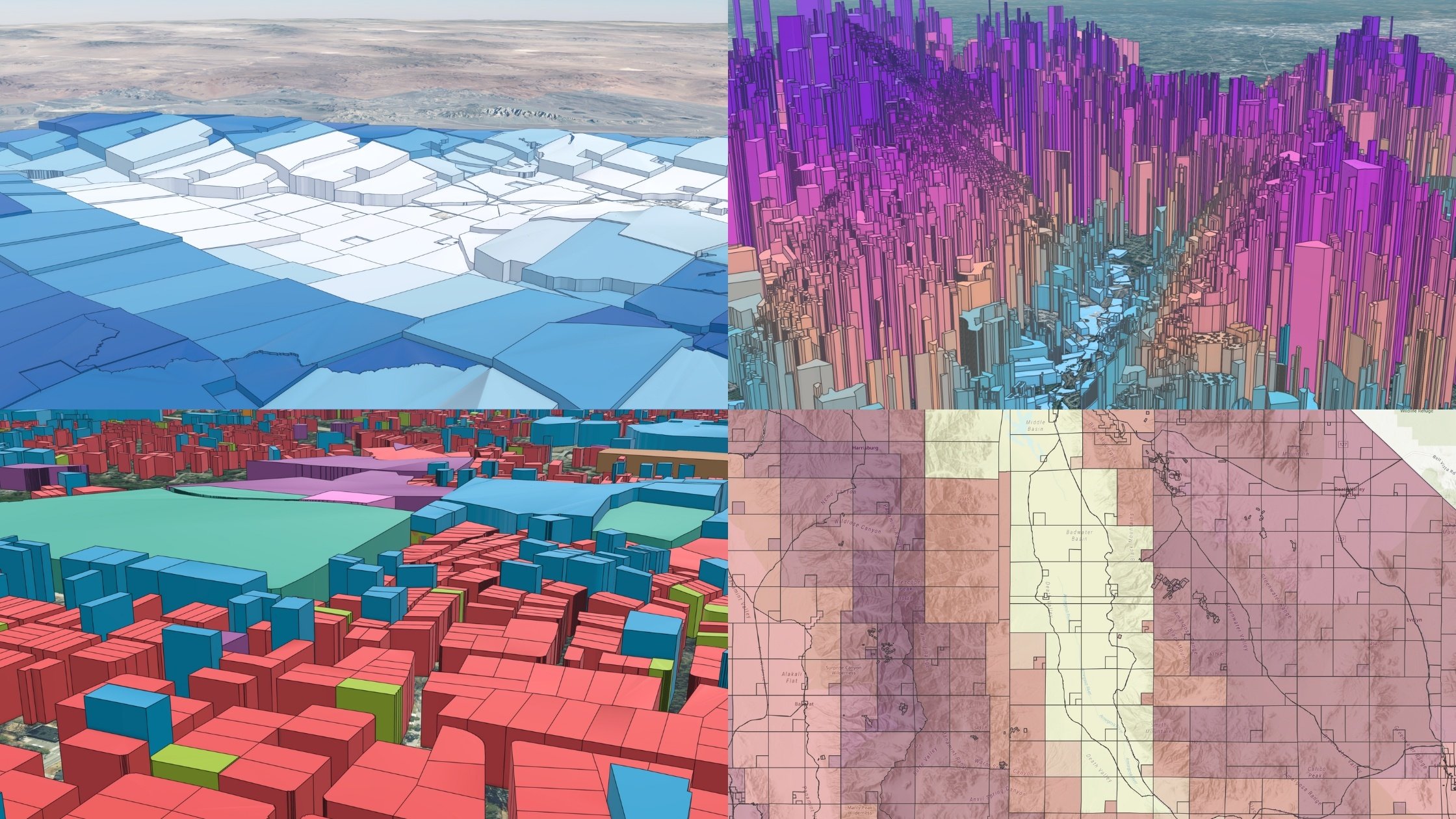
Press Release Published 2/18/25 - click here to view the full release Parcels cover the world in a quilt of property boundaries and are necessary... Read More
Parcels are the foundation of every location decision, and Regrid is proud to be your choice for parcel data. Read More
