


.svg)


Latest Blog Post
Parcel data update | July 2026
on July 6, 2026
 Premium parcels
.png) AI and ML tools
AI and ML tools
.svg)
File this one under The Journey. Getting to a 100% land parcel coverage map took incredible execution by the team, and I’m also reflecting on the... Read More


The Regrid Parcel Data API underwent significant improvements across all of its KPIs - performance, functionality and scalability and we are thrilled... Read More

Get ready to experience the full range of Regrid API offerings with the launch of our advanced interactive API sandbox! When you access this... Read More
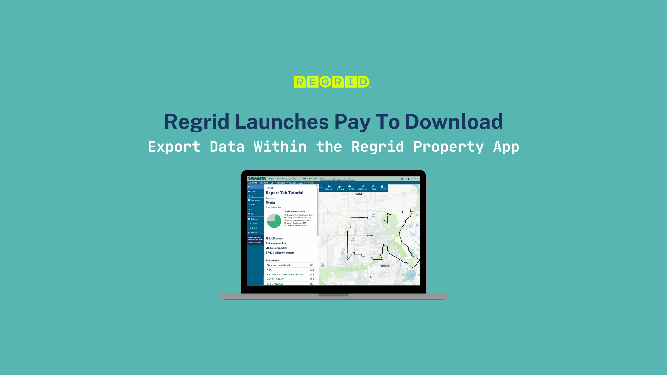
Introducing Pay to Download within The Regrid Property Web App: the ability to download properties of interest in either spreadsheet or spatial... Read More
At Regrid, our team of parcel data experts is always working to bring you fresh, accurate parcel data. Check out the latest updates below… Read More
.png)
At Regrid, our team of parcel data experts is always working to bring you fresh, accurate parcel data. Check out the latest updates below… Read More
.png)
Now you can get daily recording updates with Regrid’s Enhanced Ownership Add-On for Parcel Data Solutions! Read More
.png)
A summary of updates in January 2023 and a preview of the counties in our upcoming pipeline are below. Read More
.png)
2023 is off to a solid start! The Regrid Team is busy enhancing our services to empower your business. Here’s a quick look at the progress we’ve... Read More

BERLIN, January 30th, 2023 - Geoawesomeness announced the 5th Global Top 100 Geo, its annual list of the best geospatial companies in the world as... Read More
