.svg)


Latest Blog Post
Parcel data update | July 2026
on July 6, 2026
 Premium parcels
.png) AI and ML tools
AI and ML tools

We love seeing all the amazing things people do with Regrid’s nationwide parcel data, and are always thinking of new ways parcel data can provide... Read More

We are back with some interesting product and event updates, in case you were wondering about what’s been brewing in the Regrid world. Read More

This post is a photo gallery of sights from the event mixed with memories and observations by Regrid CEO, Jerry Paffendorf. Read More

It has officially been one year since the Loveland Team rebranded to Regrid! Read More
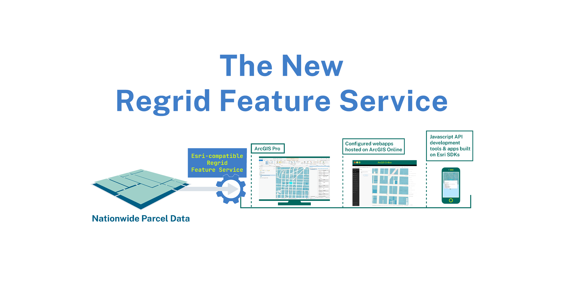
We are back with a big announcement today. Introducing a new delivery method (in addition to bulk files and API) that delivers our nationwide parcel... Read More
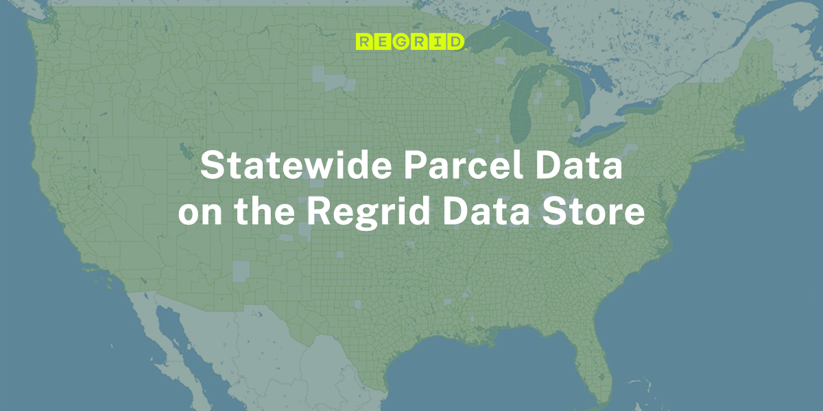
We're back with another product announcement! Launching today - Statewide Parcel Data is now available for instant purchase and downloads on the ... Read More

2022 has been off to a great start for the Regrid family. Last month, we launched our Parcels + Matched Secondary Addresses product. If you haven’t,... Read More

This week Geoawesomeness announced the 2022 edition of the Global Top 100 Geospatial Companies - and we are excited to announce that Regrid made the... Read More